No More Hand-Drawing Grids
See how CAP Charts from SkySectionals free you from manually drawing CAP grids.
Tour a SkySectionals CAP Chart
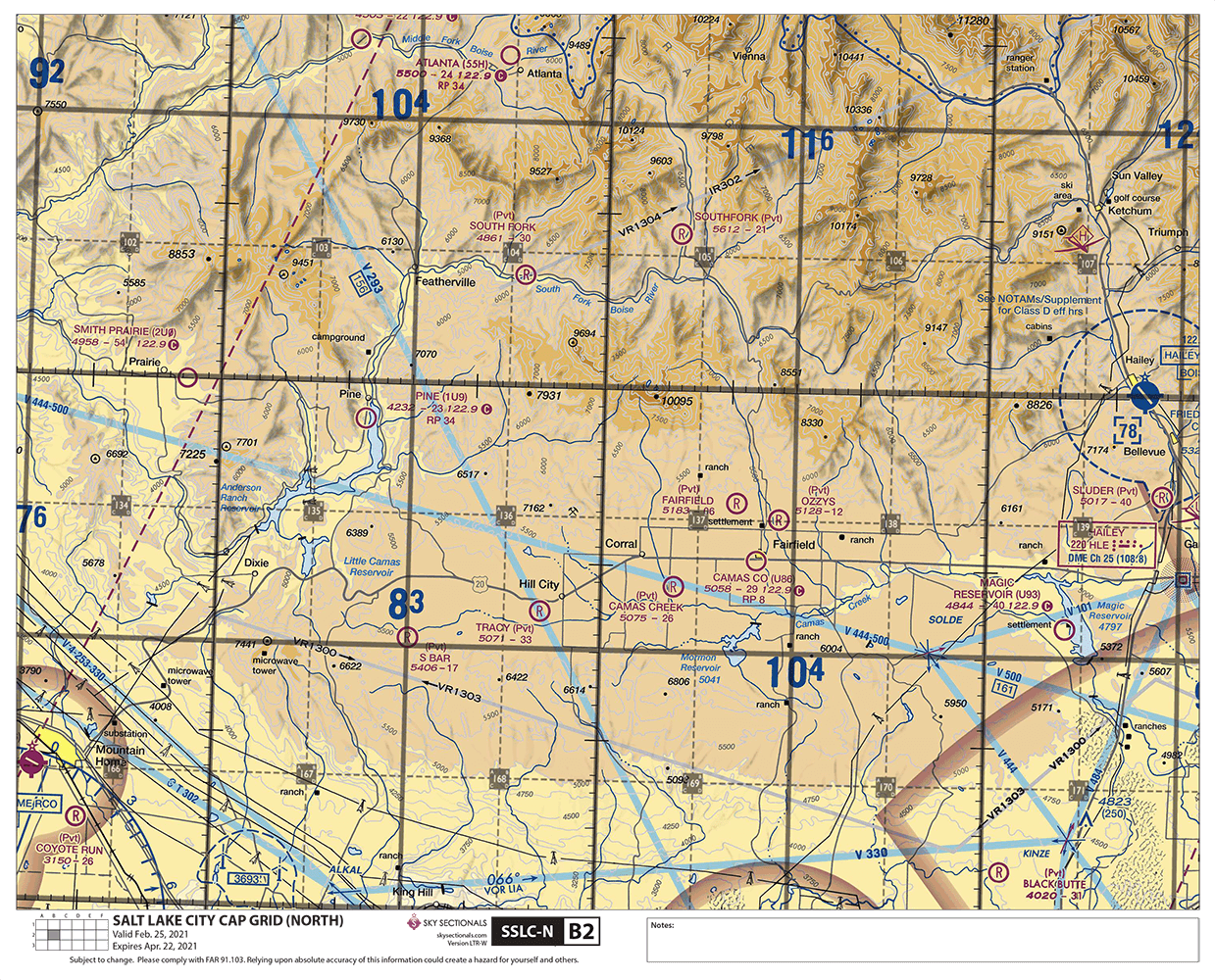
CAP Charts from SkySectionals overlay conventional cap grids on sectional charts. You get the same chart information provided on FAA sectionals with a CAP Grid overlay divided into 36 “panels” formatted for letter-sized paper that you can print yourself.
- High-resolution maps calibrated for readability and fidelity on color inkjet and laser printers.
- Included the conventional CAP grid overlay that you’re used to—15-minute by 15-minute quadrangle grids.
- We've already done the grid plotting for you, formatted in panels sized perfectly for a kneeboard or binder.
- CAP Charts print at 100% scale so sectional chart plotters can accurately measure distance.
- Generous overlap with adjoining panels makes tracking your route easy.
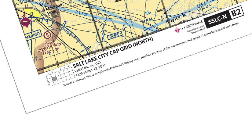
- Information at the bottom provides chart name, grid location, and expiration at-a-glance.
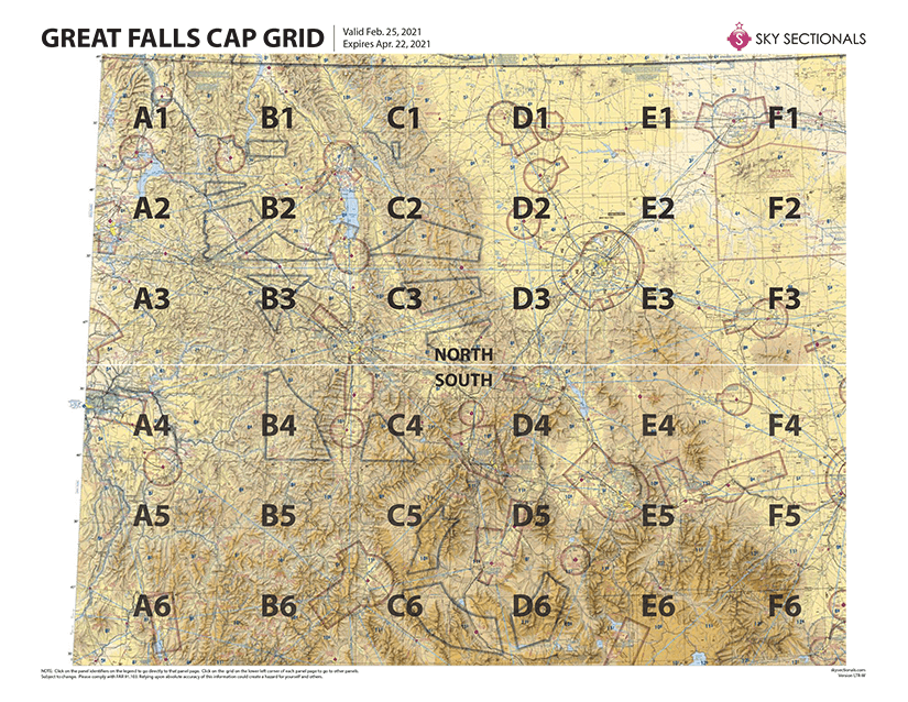
- Universal grid at the bottom left allows you to easily determine chart location and adjoining panels.
- Notes section provides area to jot down route details or reminders.
Try Before You Fly
To help you get a better idea of what SkySectional charts are like, we’ve put together a few free samples. Simply fill out the form below, and you’ll quickly get an email with the link to download our sample charts.
Get The Whole Picture
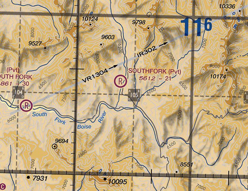
The image here is zoomed in on one of our CAP Chart panels. You can see that the grid overlay is the conventional CAP grid that you’re used to—15-minute by 15-minute quadrangle grids further subdivided into 7.5-minute A-B-C-D grids. We’ve taken great care in ensuring the grids are easily identified while also making those identifiers and the grid lines semi-transparent on the chart—helping to ensure that chart information beneath them isn’t obscured.
See the Full Chart at-a-Glance
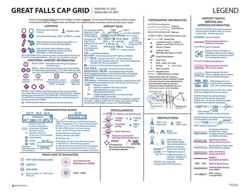
Legend at Your Fingertips
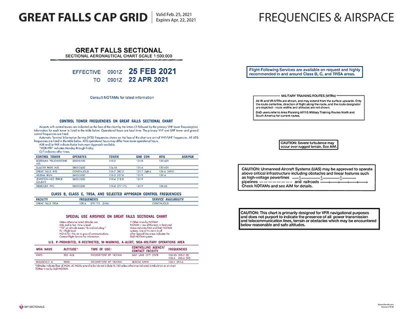
Advisories, Frequencies & Airspace
