Charts Designed to Keep your Cockpit Efficient
See how SkySectionals charts present familiar information in a convenient format
Take A Quick Tour
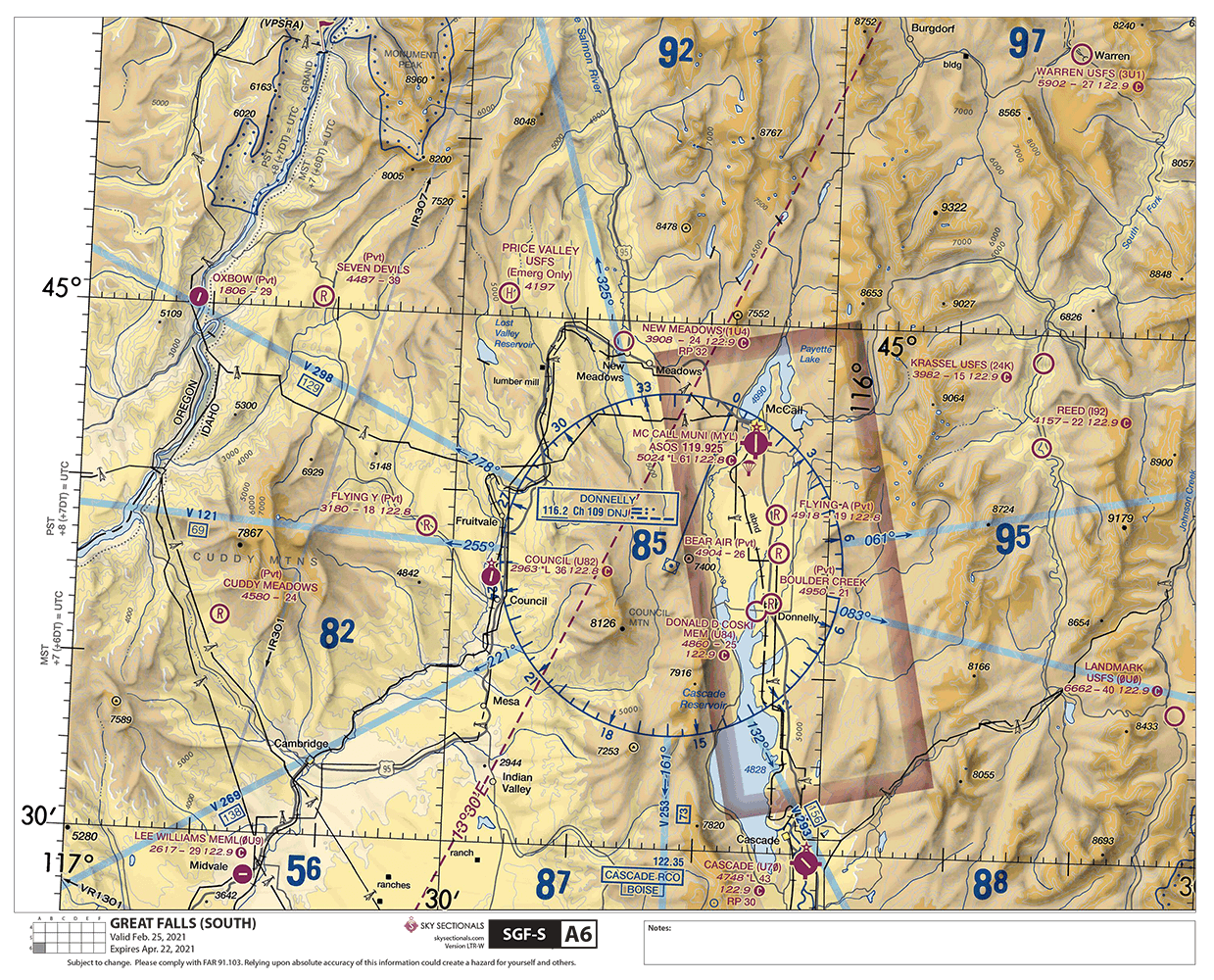
- High-resolution maps calibrated for readability and fidelity on color inkjet and laser printers.
- The same design and information you're used to seeing from FAA charts.
- SkySectional sectional charts print at 100% scale so plotters can accurately measure distance.
- Generous overlap with adjoining panels makes tracking your route easy.
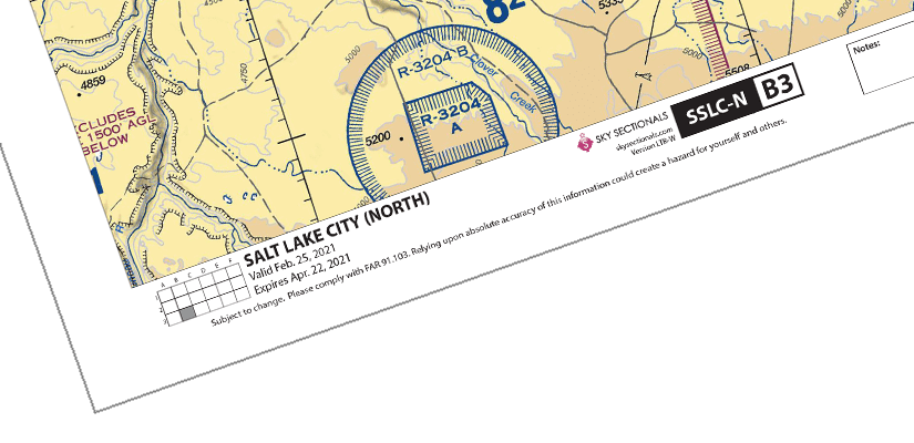
- Information at the bottom provides chart name, grid location, and expiration at-a-glance.
- Universal grid at the bottom left allows you to easily determine chart location and adjoining panels.
- Notes section provides area to jot down route details or reminders.
Try Before You Fly
To help you get a better idea of what SkySectional charts are like, we’ve put together a few free samples. Simply fill out the form below, and you’ll quickly get an email with the link to download our sample charts.
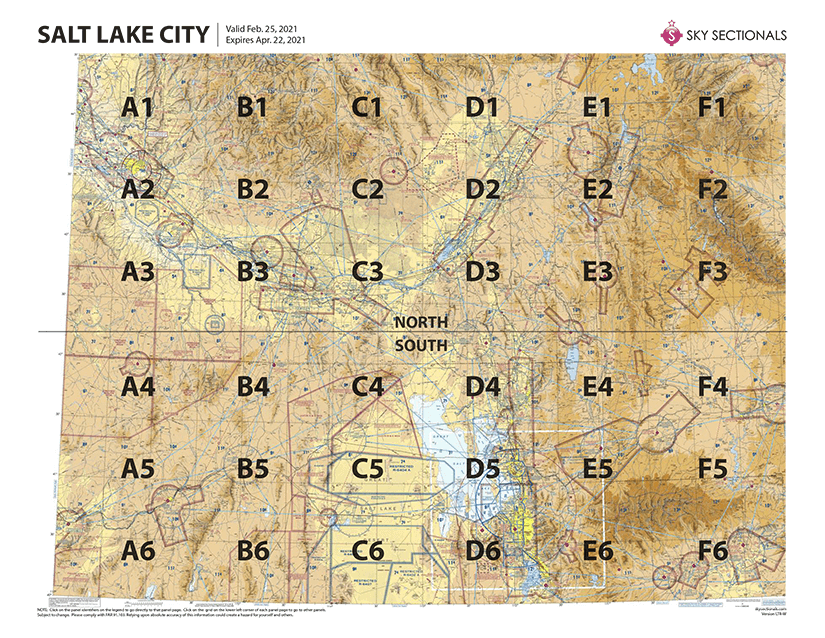
See the full sectional at-a-glance
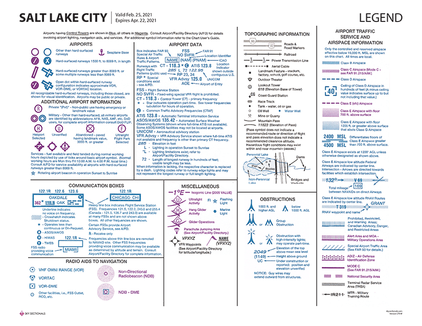
Legend At Your Fingertips
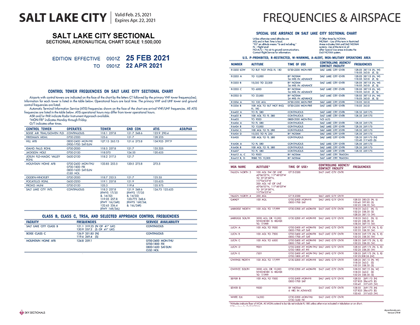
Advisories, Frequencies & Airspace
The supplemental information provided on a standard sectional is included too. No more flipping and fumbling with your sectional to check on control tower operating times or TRSA service availability. Just print out the relevant page of your SkySectional and keep it on you kneeboard–it’ll always be a quick glance away.
Easier Navigation
There are helpful features to quickly get to the SkySectional panel you want. Each panel includes a grid that displays which panel you’re on in relation to others. In addition, you can click within the grid to navigate to other panels. Plus, you can always click on the SkySectional code (in this case SSLC-N) to go back to the full sectional view.
