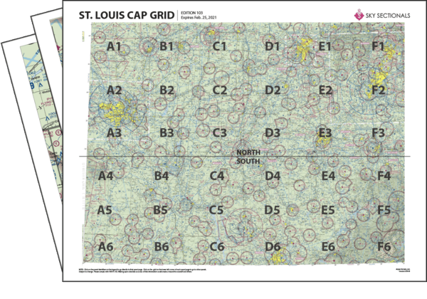
- Downloadable PDF so you can print your own sectional panels
- 36 SkySectional panels covers both the north & south St. Louis CAP-gridded sectional.
- Includes all legend, frequencies, airspace and sectional advisory information.
- SkySectional QuickNav to easily find the panels needed for your flight.
St. Louis CAP Grid
- Covers Eastern Missouri, Southern Illinois, Southern Indiana, Western Kentucky and Northern Tennessee
- Highest terrain elevation: 3534 feet
Charts valid from Apr 17, 2025 to Jun 12, 2025
| $14.99 | ||
| $17.99 | ||
| Subscribe & Save | $39.99/yr |
St. Louis Sectional Towered Airports
- ALN - St. Louis Rgnl
- BAK - Columbus Muni
- BLV - Scott Afb/midamerica
- BMG - Monroe County
- CGI - Cape Girardeau Rgnl
- CPS - St. Louis Downtown
- DEC - Decatur
- EOD - Sabre Ahp (fort Campbell)
- EVV - Evansville Rgnl
- FTK - Godman Aaf
- HOP - Campbell Aaf (fort Campbell)
- HUF - Terre Haute Intl-hulman Field
- IND - Indianapolis Intl
- LOU - Bowman Field
- MDH - Southern Illinois
- MWA - Williamson County Rgnl
- OWB - Owensboro-daviess County
- PAH - Barkley Rgnl
- SDF - Louisville Intl-standiford Field
- SPI - Abraham Lincoln Capital
- STL - Lambert-st. Louis Intl
- SUS - Spirit Of St. Louis

