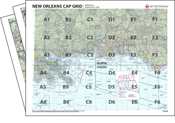
- Downloadable PDF so you can print your own sectional panels
- 36 SkySectional panels covers both the north & south New Orleans CAP-gridded sectional.
- Includes all legend, frequencies, airspace and sectional advisory information.
- SkySectional QuickNav to easily find the panels needed for your flight.
New Orleans CAP Grid
- Covers Southeastern Louisiana, Southern Mississippi, Southern Alabama and the Western Florida Panhandle
- Highest terrain elevation: 720 feet
Charts valid from Mar 21, 2024 to May 16, 2024
| $14.99 | ||
| $17.99 | ||
| Subscribe & Save | $39.99/yr |
New Orleans Sectional Towered Airports
- 79J - South Alabama Rgnl At Bill Benton Field
- BFM - Mobile Downtown
- BIX - Keesler Afb
- DHN - Dothan Rgnl
- EGI - Eglin Af Aux Nr 3 Duke Field
- FHK - Knox Ahp
- GPT - Gulfport-biloxi Intl
- HEY - Hanchey Ahp (fort Rucker)
- HRT - Hurlburt Field
- HSA - Stennis Intl
- HUM - Houma-terrebonne
- LOR - Lowe Ahp (fort Rucker)
- MOB - Mobile Rgnl
- MSY - Louis Armstrong New Orleans Intl
- NBG - New Orleans Nas Jrb/alvin Callender Field/
- NDZ - Whiting Field Nas-south
- NEW - Lakefront
- NPA - Pensacola Nas/forrest Sherman Field/
- NSE - Whiting Field Nas North
- OZR - Cairns Aaf (fort Rucker)
- PAM - Tyndall Afb
- PFN - Panama City-bay Co Intl
- PNS - Pensacola Rgnl
- PQL - Trent Lott Intl
- SLJ - Hagler Aaf
- SXS - Shell Ahp
- TOI - Troy Muni
- VPS - Eglin Afb

